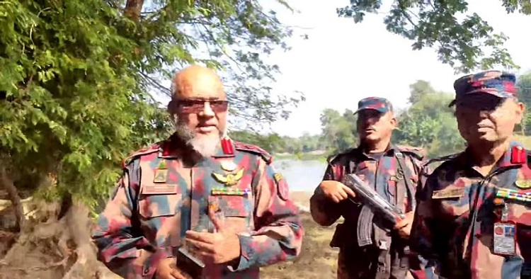
In a landmark achievement, Border Guard Bangladesh (BGB) has reclaimed a 5-kilometre stretch of border territory along the Kodala River in Moheshpur upazila of Jhenaidah, strengthening Bangladesh's sovereignty over the area.
The Moheshpur 58 BGB Battalion, responsible for overseeing this border area, verified the river’s rightful ownership through documents, maps, and consultations with the local administration. Acting on these findings, the battalion took decisive action, according to a press release issued on Monday.
On December 19, 2024, BGB personnel began 24-hour patrols using motorised boats and all-terrain vehicles (ATVs) to establish control over the river. Guided by directives from higher authorities, they carried out their mission with professionalism and goodwill, the release stated.
By December 20, 2024, the BGB had restored local access to the Kodala River. Bangladeshi citizens resumed fishing, cultivating along the riverbanks, and engaging in other daily activities. The release also noted that illegal movements by Indian nationals in the area had largely ceased.
On January 6, 2025, the commanding officer of the Moheshpur Battalion met with local residents to raise awareness about the river’s rightful ownership. He thanked the community for their support and encouraged them to educate future generations about the area’s sovereignty.
The officer urged locals to continue irrigation and cultivation activities while assuring them of the BGB’s unwavering support in addressing any challenges, the release added.
The BGB’s successful reclamation of the Kodala River highlights their dedication to protecting Bangladesh’s borders and upholding the rights of its citizens, the press release concluded.
This reclaimed section of the river, which runs southward within Bangladesh, forms part of the Bangladesh-India border near Matila. The Bangladesh-India map (Steep Map Sheet No. 51) adopted in 1961 confirms that this 4.80-kilometre stretch lies entirely within Bangladesh’s territory.
Over the years, local residents witnessed the gradual encroachment of this area by the Indian Border Security Force (BSF). After Bangladesh’s independence, many people relocated from the border, which allowed the BSF to assert control over this portion of the Kodala River.
This encroachment restricted access for Bangladeshi citizens, leading to frequent disputes between BSF and local residents and occasional confrontations with BGB personnel, the press release added.


